After years of research, engineering and development, including logging hundreds of flight hours on survey projects across Australia. I would like to introduce Xmap’s portable mapping systems for light aircraft. Our systems are primarily designed for the Cessna 172 aircraft, but can also be adapted to be flown on some models of helicopters. We have an FAA STC approval for the Cessna 172. This means that our pods transform thousands of aircraft around the world into potential survey aircraft.
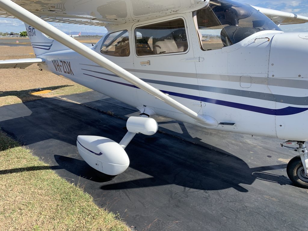
More than just a camera pod, our systems are a turn key aerial survey system. Complete with camera, airborne GPS, flight management system, and dedicated mission planning software. Systems were designed to be operated by a single pilot, and are completely portable. In most cases a system can be fitted to a local aircraft and ready to fly in around 45 minutes. This means local aircraft can be used to collect data, and reduces the cost of ferrying dedicated survey aircraft with camera holes around the country greatly reducing the cost of image acquisition.
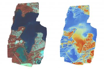
We have 3 payload options available including our high resolution colour, thermal and multispectral options.
0 Comments