fire mapping pods
Fire Mapping Systems
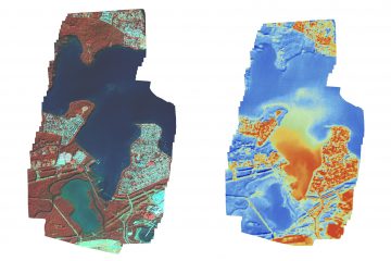
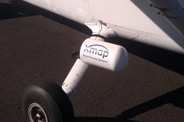
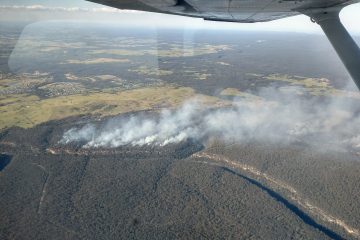
At Xmap we have been busy working on a fire mapping variant of our portable mapping systems. Our aim was to develop a low cost completely portable system that can be used to map small fires, as well as detect and map hotspots post fire. Images below are from a Read more…