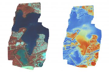
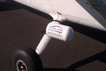
2 cm GSD imagery, must have come from a drone right? Nope this 2 cm data set was captured with one our portable mapping pods for Cessna 172 aircraft. Previously super high resolution imagery was difficult from a manned aircraft due to the short cycle time of the camera, and high shutter speeds required. Modern camera technology has not only made this possible, but common place. Through increases in sensor resolution, lightning fast shutter speeds and the super fast write speeds of modern data cards.
So if you have a requirement for high resolution imagery in areas where its difficult or illegal to operate a drone we may be able to help. Unlike drones we can operate just about anywhere in Australia, including over built up / residential areas and near airports.

0 Comments