Mapping Pods
Multispectral Imagery
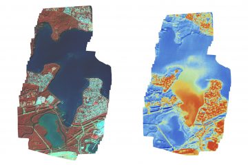
Are you chasing some multispectral or thermal imagery for your next GIS or environmental monitoring project? Is the area to big to cover with drones drones, or do you require higher resolution than satellite? Then at Xmap we may have the answer for you. Here is an example of an Read more…